

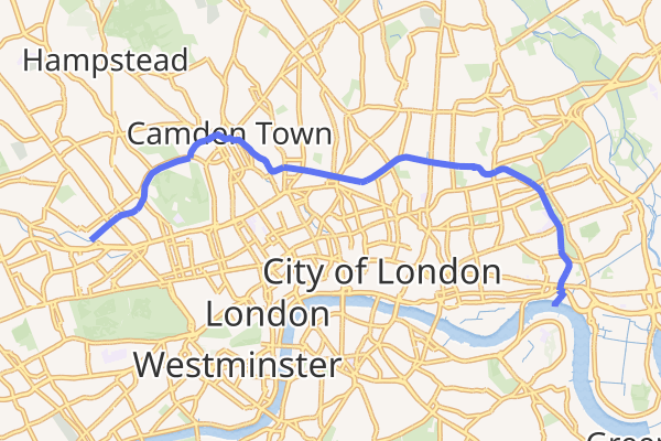
Lunchtime runs along the tow-path were my first introduction to London’s Regent’s Canal, which covers an arc north-west from the River Thames near Canary Wharf to Little Venice by Paddington. My interest was heightened when I learnt that my grandmother’s father and grandfather owned a timber yard beside the canal. Timber from Scandinavia would have been delivered to them by ship to Limehouse on the River Thames and then by barge on the canal.
I decided the Regent’s Canal was worth exploring and started a quest to find the location of the timber yard by following the route of a consignment of timber from the river to the yard.
8.6 miles of a personal and historic journey along the Regent’s Canal
It was the idea of John Nash, famed for being the main architect and town planner of Bath, who created the master plan for the Regent’s Canal and dedicated it to George IV, who at that time was Prince Regent.
Work on the 8.6-mile and 13-lock canal started in 1812 from Paddington to Camden Town through what is now called “Little Venice”. The Camden to Limehouse section opened in 1820.
The canal began to go into decline as goods were increasingly moved by rail. The history of the canal began to change in the early 70s as it was converted to use by leisure craft, which still use it today.
The Grapes in Limehouse, the start of the quest
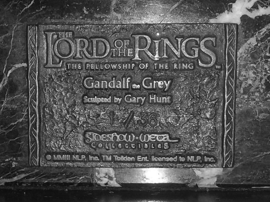
Before starting my quest on the Regent’s Canal, I settled with a coffee in The Grapes pub just along from Limehouse Basin, now named Limehouse Marina. The riverside pub, has connections with Sir Walter Raleigh and Charles Dickens. It also has a sculpture made by Gary Hunt of Gandalf the Grey from The Lord of the Rings trilogy (which Sir Ian McKellen, one of the pub’s owners, played). I sat quietly, musing on the age and longevity of the pub and the characters associated with it. Gandalf the Grey would have made a good companion for my quest.
Water splashing on my feet rudely woke me from my reverie. What on earth was happening? Answer: – the river was coming into the pub! Urgent cries rang out, heavy footsteps clumped down the stairs, and a stout wooden board was rapidly fetched and dropped into place. After a frantic couple of minutes’ calm was restored, and I was able to put my feet down.
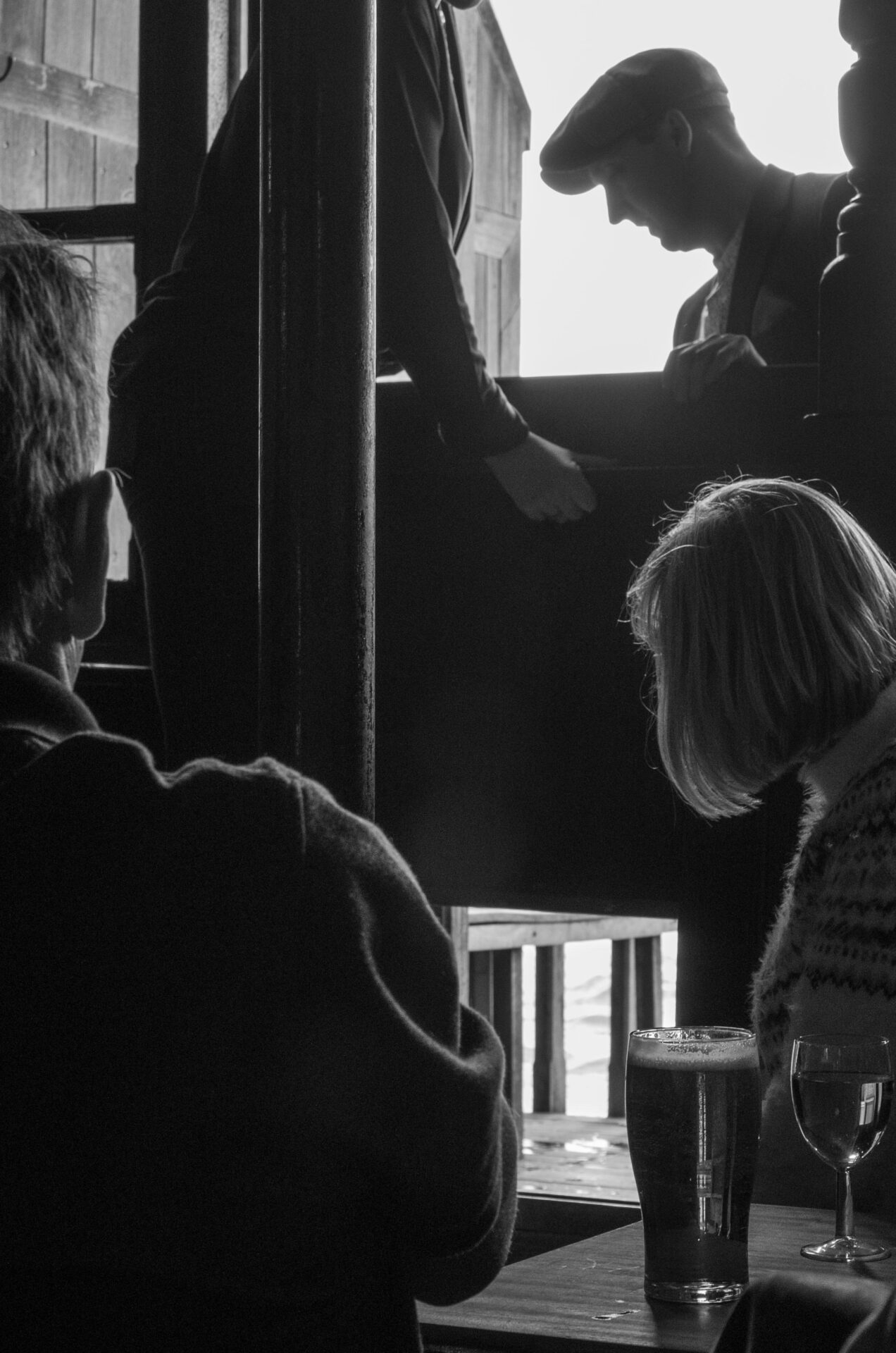
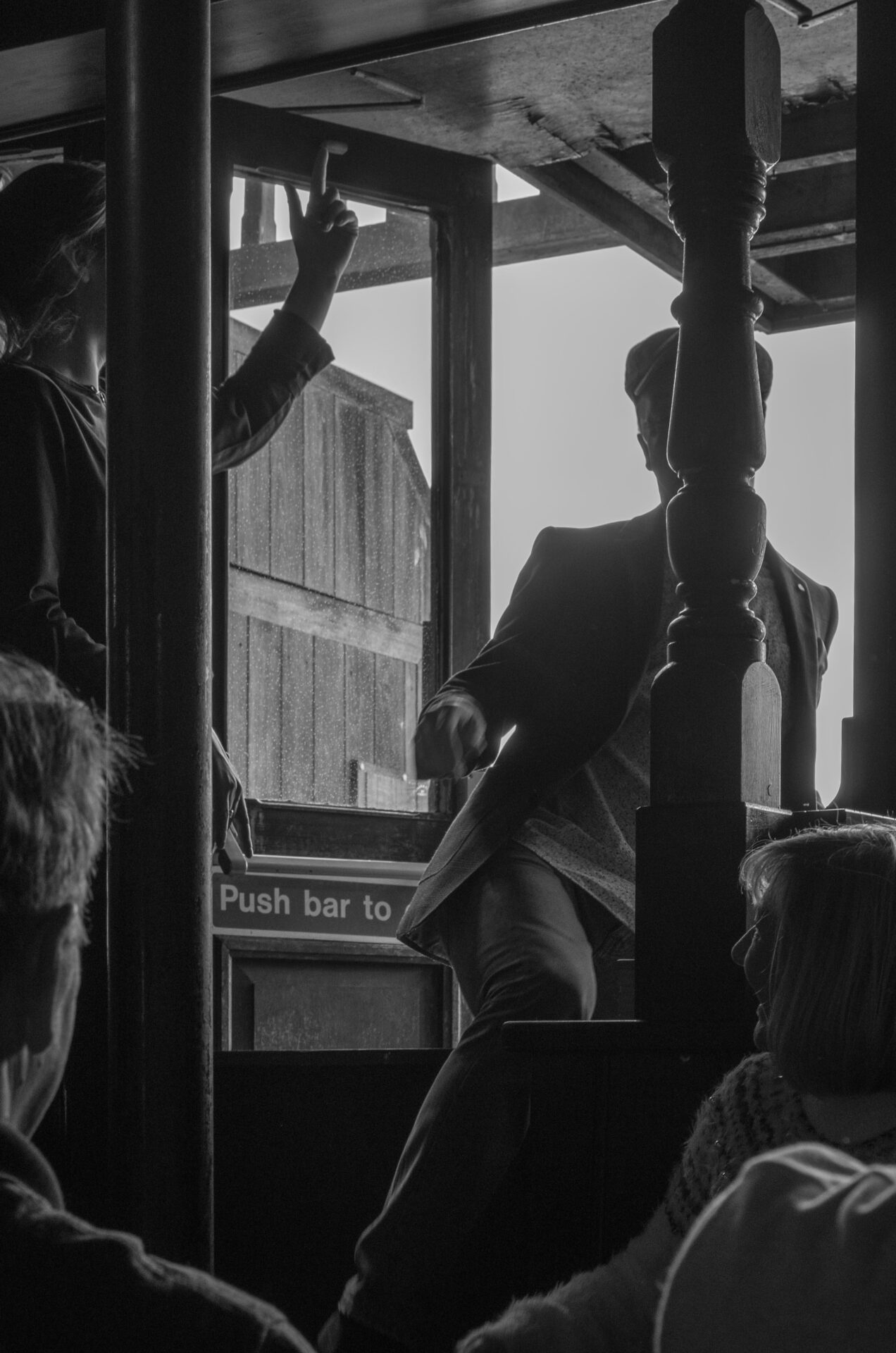
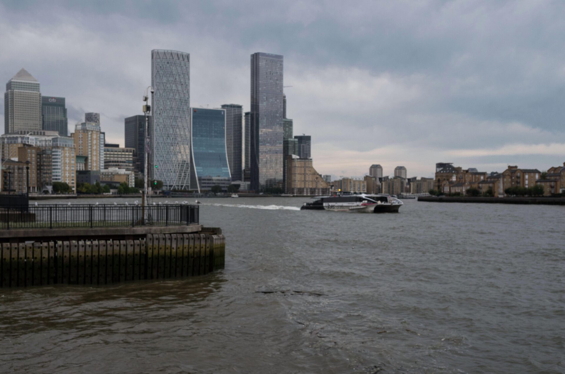
The river’s intrusion was readily understood. The Grapes sits on the north side of the Thames at the northern end of the Isle of Dogs and just west of Canary Wharf. When the tide is very high, the wind is blowing strongly from the south and speeding Thames Clipper river taxis send their wash towards the pub, the river makes its presence felt.
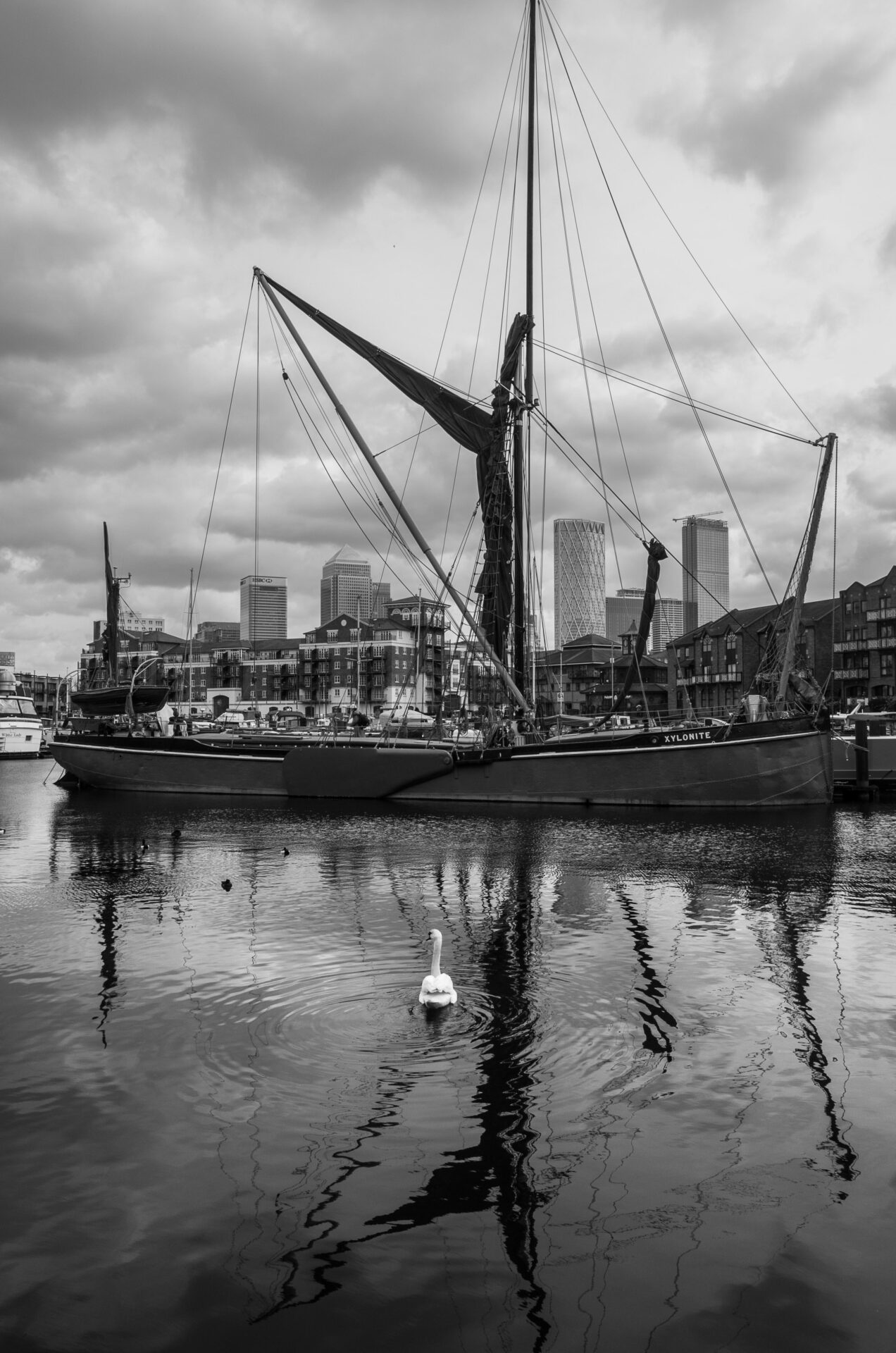
Limehouse Basin, now Limehouse Marina, to Mile End Rd on the Regent’s Canal
See this article about the Regent’s Canal to put my adventures into perspective
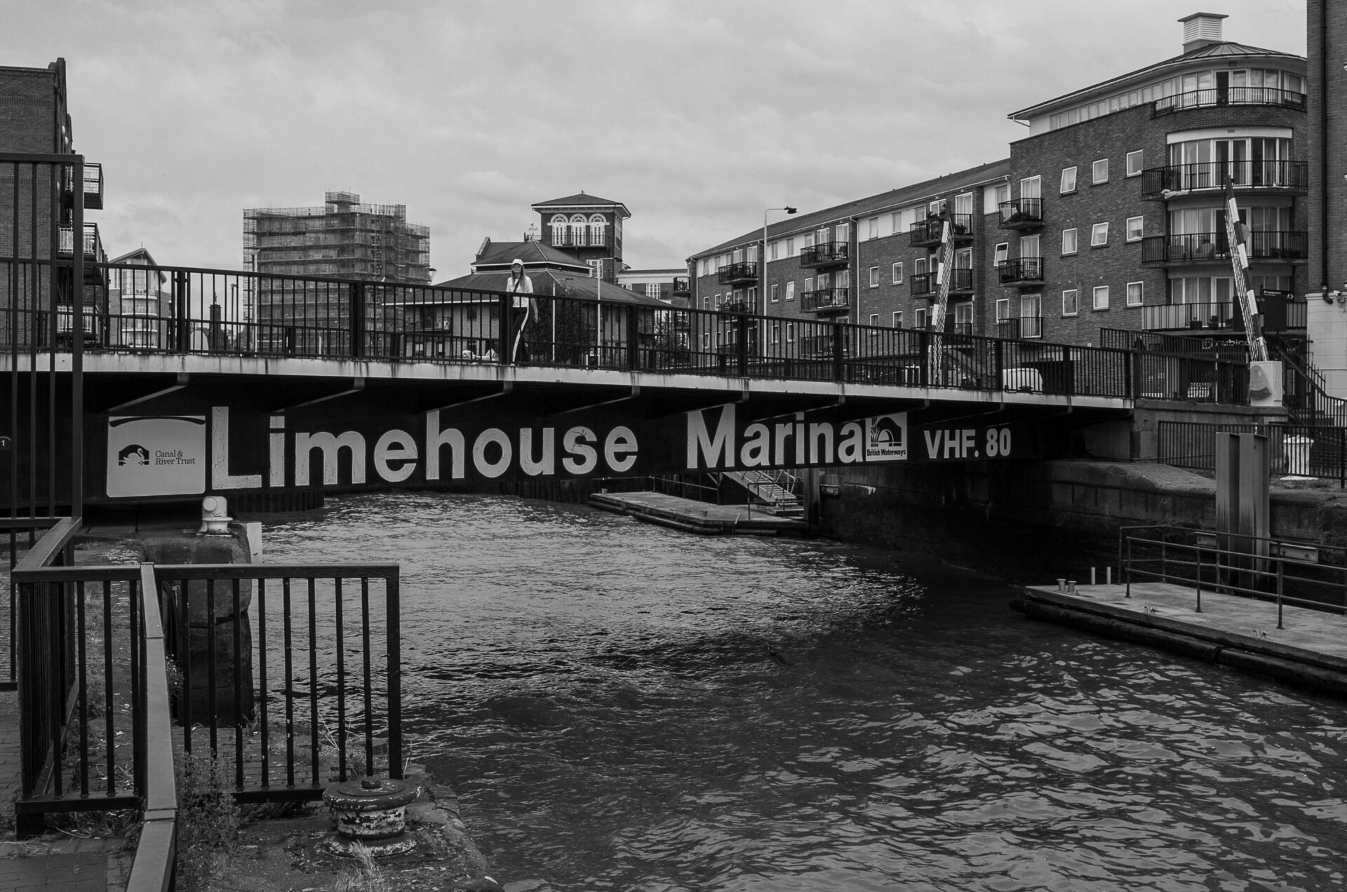
The original Regent’s Canal Dock, then known as Limehouse Basin and now Limehouse Marina, was the point where ships transferred their cargoes to barges for onward transport on the canal. The most important cargo was coal from Northumberland and Durham, timber being the second, along with fruit and ice (fifteen ships a year brought ice from Scandinavia).
Standing windblown and chilled beside the narrow entrance to the marina, I thought about how hard it must have been to bring a large ship in from the river. I’d had enough trouble manoeuvring a boat with two outboard engines out of its marina berth with the wind blowing without bouncing off the adjacent craft. The entrance lock was previously much larger to take sea-going vessels, but the present one is said to be sufficient for the smaller craft in the marina and uses less water.
Grateful to be out of the bitterly cold wind, I wandered around the marina now crowded with narrow boats and barges and the occasional larger vessel. Swans enjoyed the tranquil waters and trains passed by on the Docklands Light Railway taking passengers back and forth from Canary Wharf.
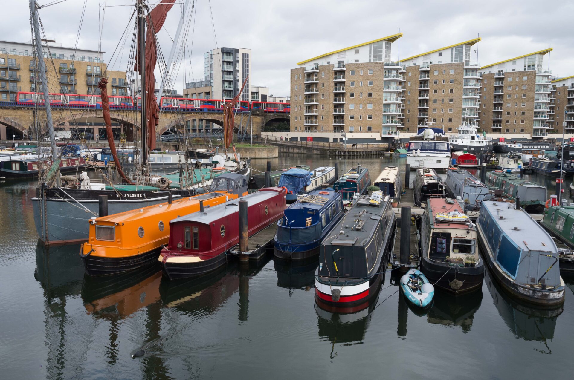
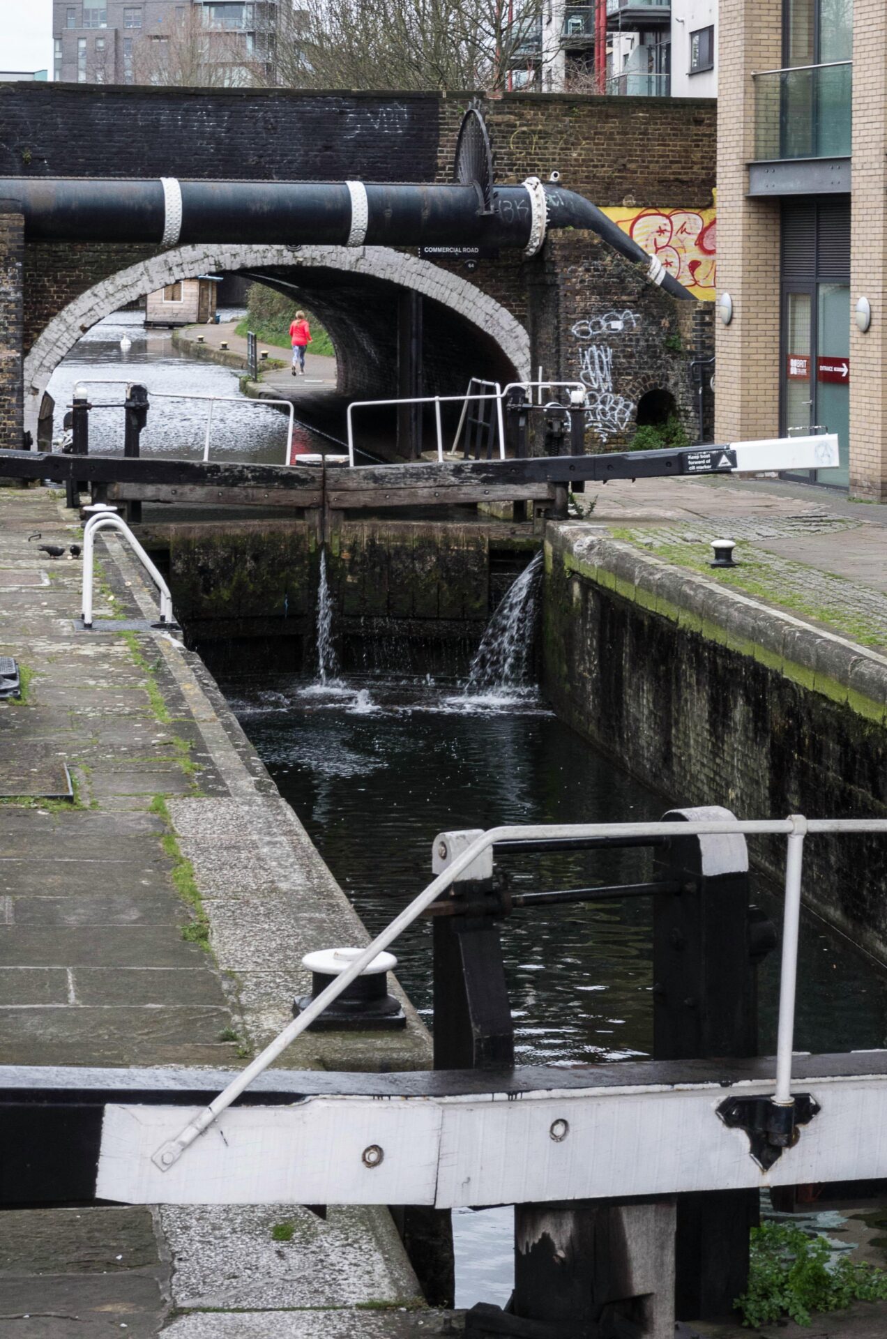
On the north side of the marina, beneath the railway viaduct, a lock marks the start of the canal itself. From the marina to Mile End, the canal is relatively quiet with residential blocks on either side until it reaches Mile End Park on the east bank.
From Mile End Road to Victoria Park
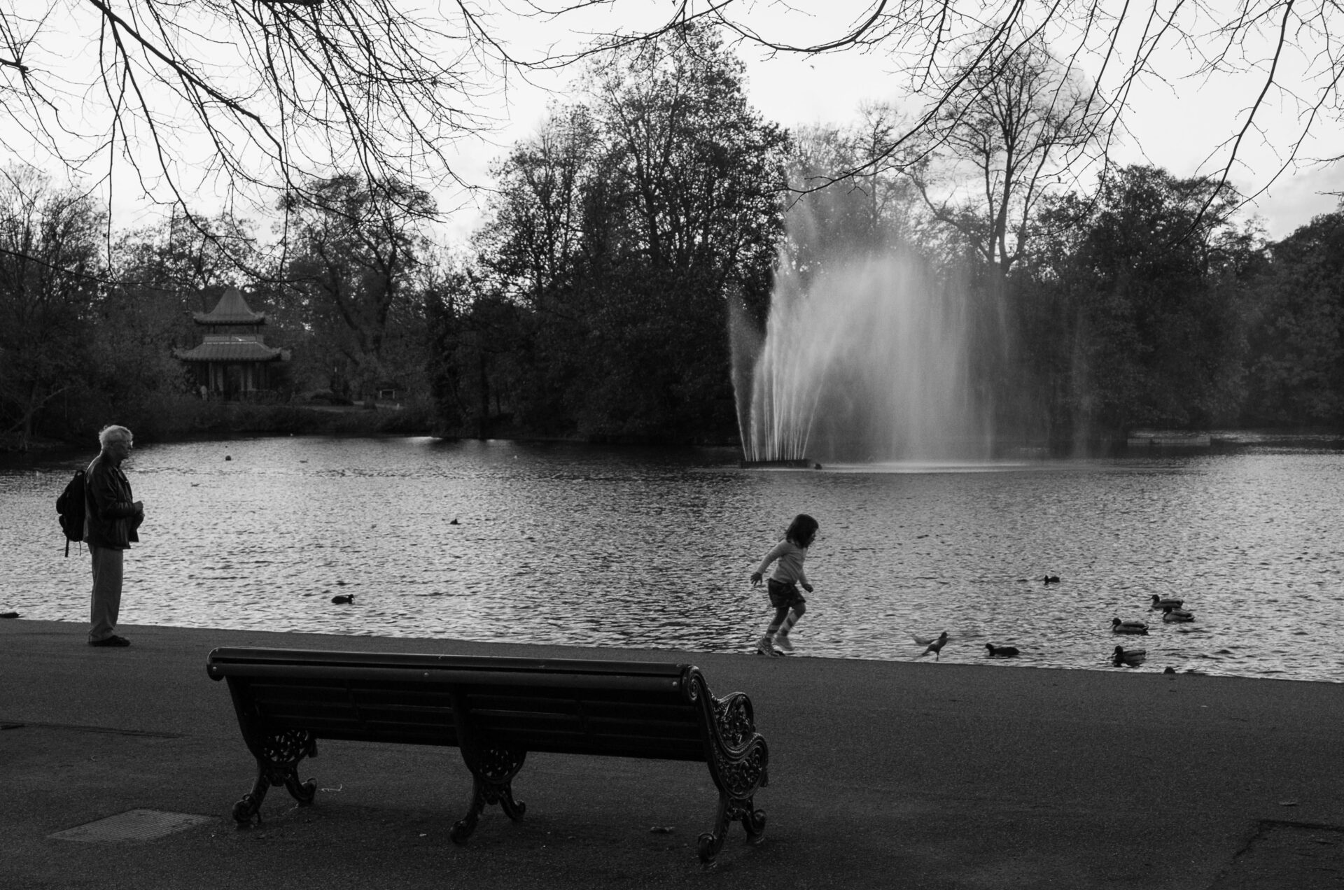
Beyond Mile End lies Victoria Park, built in the 1840s as a recreational space for residents of the East End of London and the largest municipal (as distinct from royal) park in London.
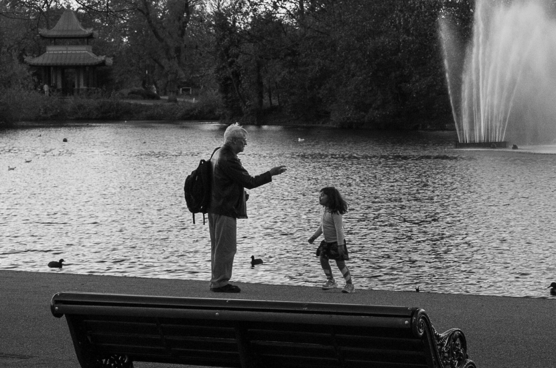
Exploring the park, I found the skateboard park, where the ‘boarders were joined by enthusiastic cyclists on what looked like chopper bikes. The friendly bunch had no objections to me setting up my tripod and photographing them in the beautiful light. I appreciated their performances and was grateful for any showing off for the camera.
Impressive and exhilarating as the cyclists were, upside down on a bike is not somewhere I would want to be. I have a constant reminder of my cycling escapades, not framed photos of sunny foreign adventures or of competition glory, but my dental bridge which arrived after I’d said a sad farewell to my front two teeth. Nowadays, I’m happy to stand on the sidelines with my camera.


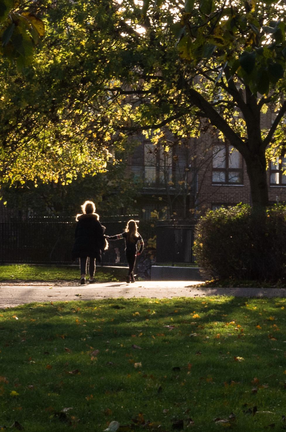
My maternal grandparents’ marriage certificate records my grandmother’s home as being in Groombridge Road, a few streets north of the park. It would have been her local green space and the place for her Edwardian adventures. She would have run around there just as children do now, making me think of her — and of my mother, whom I assume was brought to see her grandparents. My younger son recently lived just off Groombridge Road for a time before moving to the other side of the park, and I like the continuing family connection with the area.
Reaching the goal: finding the timber yard(s) beside the Regent’s Canal
A relative told me the family’s timber yard was in Andrews Road, and I found the street just along from Victoria Park. The next question was where exactly had the yard been? I paid a visit to Hackney Archives in the Dalston CLR James Library, just along from Dalston Junction station, and the friendly staff pulled out the area’s maps and business directories from the 19th Century.
The map of 1870 shows a timber yard in Andrews Road near its junction with Cambridge Heath Road. However, the map of 1894 shows not only an unnamed building on the site but also a new major railway bridge beside it carrying the Great Eastern Railway. The same map shows a larger timber yard to the east of the railway off North Street and nearer the park. Moreover, the street directory of 1894-1895 for Hackney lists William Porch in Andrews Road. I’d located the yard in Andrews Road and discovered that it had been moved by 1880.
A change in location
Where the old timber yard was there’s now the business of James Hoyle and Son, architectural iron founders, established in 1880. So, I assume my family’s timber business moved to their new, larger site in the mid to late 1870s. I think that will be as much as I can learn about the business for now, given that those involved are long dead. The timber yard from 1894 is also long gone, and the site is now an estate of houses named Grand Union Place, with a commemorative plaque dated 2nd June 1993.
An Ordnance Survey map revised in 1913-14 and published around 1920 shows a wharf on the canal where the newer yard was. The previous yard was to the west of the railway line shown on the map.

The wharf off North Street shown at the top left of the Ordnance Survey map, published around 1920, shows the location of the newer yard. The older, much smaller, yard was to the left of the railway line. The map also shows Victoria Park being in Bethnal Green.
Generation after generation of history
I found it very satisfying to explore where my maternal grandmother had lived with her parents and grandparents and to learn more about the family’s timber business. Family lore says that my great-grandfather was badly injured when timber fell on him in the yard, and he was ‘never the same again’.
Seeing how narrow the yards were, and imagining how congested with timber they would have been, I can better understand how the accident happened. My grandmother’s mother later moved to South London to be closer to my grandmother, and I was reminded that my mother took my sister and me to visit her. Alas, my only recollection is that we liked her biscuits.
This quest has given me a sense of continuity about the area and specifically about Victoria Park, which my great-grandparents, my grandparents and my mother (I assume) enjoyed and which my son enjoys now.
Having finished that quest, I continued my explorations of the Regent’s Canal, which will be the subject of a future article.
Read more from Kevin Armstrong
Make a donation to help with our running costs
Did you know that Macfilos is run by five photography enthusiasts based in the UK, USA and Europe? We cover all the substantial costs of running the site, and we do not carry advertising because it spoils readers’ enjoyment. Any amount, however small, will be appreciated, and we will write to acknowledge your generosity.
I like the little splash of red in the Lock and Canal image.
But my favourite is the light in Time for Home.
Well seen, those.
Thanks for an interesting read.
Thanks Wayne. Both the photos gave me pleasure in taking them. The Time for Home photo was a special moment and has stuck in my mind.
Thanks Kevin for a great article and series of photos.
Thanks Jean, glad you liked it.
Thanks Kevin for a great article and series of photos.
Wonderful article Kevin, I find that photography in places where there is a historic family connection is about as good as it gets. As a former Camden Town lad, I’m looking forward to the next chapter. There’s lots of material in the East End where some of my ancestors lived and earlier this year I supped in the “Town of Ramsgate” which close to “The Grapes” and pretty similar. I’ve got many images of that wall on Hanbury Street in one of your previous posts and I wish that I’d been more diligent in making a permanent record of all of its many guises, could been an interesting document in the light of the current threat to the unique culture of the area.
David
Thanks David. I’ve been to the Town of Ramsgate and it’s memorable with nice views of the river. The street art around Brick Lane changes regularly so it’s always worth a visit.
Thank you Kevin, I greatly enjoyed this article and now very much wish I was able enough to also follow your route for myself. Very interesting. Thank you again. Don
Thank you Don, much appreciated. I hope my writing and photos let people feel they are accompanying me.