

“Where was this taken, darling?” That question used to end in a search through shoeboxes and half-remembered itineraries. Crosby, Stills, Nash and Young sang “If I had ever been here before, I would probably know just what to do. Don’t you?” GPS location data really comes in handy when trying to remember somewhere off the beaten path — but preferably not out of cellphone range! It has quietly become part of how a photograph tells its own story. Can your camera and GPS help you tell a story about a previously undiscovered location? Do you want to share where it is?
These days social media has visited every famous/iconic location around the globe, so anyone going to Machu Pichu would know where it was and how to get there again. But there are still corners of the world that have yet to be fully explored. And GPS can help remind you where they were located through Geotagging your shot.
How it works
Geotagging is really just another line in the EXIF data attached to a photograph: latitude, longitude, and often altitude, added at the moment of capture. Some cameras go further and record which way the lens was pointing. Feed that into Capture One or Lightroom afterwards, and a whole holiday can be plotted as a route on a map, rather than a loose pile of files with no obvious order.

That’s a real improvement on the old method. My parents’ generation sat through slide shows where the same question came around every few minutes: where was this taken? The answer usually involved an atlas, a travel diary, and an argument. These days some Pentax cameras can go one step further, showing the distance walked between one shot and the next. It’s a small but oddly satisfying thing to know after a day’s shooting when we seem to obsessively count our steps these days.
Bridging the gap
Given how relatively cheap and capable smartphones now are, it’s not surprising that most manufacturers dropped built-in GPS chips in favour of a Bluetooth link to the phone in your pocket. Nikon uses SnapBridge for this on its current Z-series bodies. Fujifilm has the Fujifilm X app doing the same job for X and GFX cameras, while Canon and Sony rely on Camera Connect and Creators’ App/Imaging Edge Mobile respectively, while the OM System uses OI.Share.

The logic holds up. A phone’s location chip and antenna are already in place, already good, and already updated more often than any camera firmware ever will be. Why duplicate it? Most of us also replace our phones more frequently than we replace our cameras. It makes more sense to simply use the device already doing the frequent updating. But you still have to remember to successfully pair the phone and camera before attempting to adding that extra line of EXIF data to your shots.
Pentax goes alone
Pentax and its parent Ricoh are the one notable holdout, still fitting genuine GPS hardware rather than relying on a phone. The O-GPS2 hot-shoe unit works across a range of bodies, including the 645Z, K-3 Mark III, KP and K-70, and pulls in signals from an alphabet soup list of GPS, SBAS, QZSS, GLONASS and Galileo for latitude, longitude, altitude, time, and direction.

O-GPS2 also drives Astrotracer, Pentax’s star-tracking mode, and a simple point-to-point navigation function. For anyone shooting the night sky, that coupling of GPS data with the camera’s sensor-shift stabilisation is the real prize: it keeps stars as points of light rather than streaks, even with longer exposures.
Sticking with phones
Battery life and antenna size are the practical reasons why most other manufacturers haven’t followed Pentax’s lead, and I doubt that will change soon. Camera firmware updates arrive in fits and starts. Phone location services, by contrast, tend to improve more frequently, almost without anyone noticing. Put these two things together and tethering to a phone via Bluetooth looks less like a compromise and more like the sensible long-term trade-off.

The RTK leap
One development worth watching is RTK, or Real-Time Kinematic positioning, which can bring GPS accuracy down to roughly four centimetres, against the several metres a phone typically manages today. It’s already used in surveying and precision agriculture, and it’s only a matter of time before some version of it reaches consumer phones. When it does, even a snail crossing a garden path — I’m thinking of one called Brian — should end up correctly and precisely placed in a photo book.
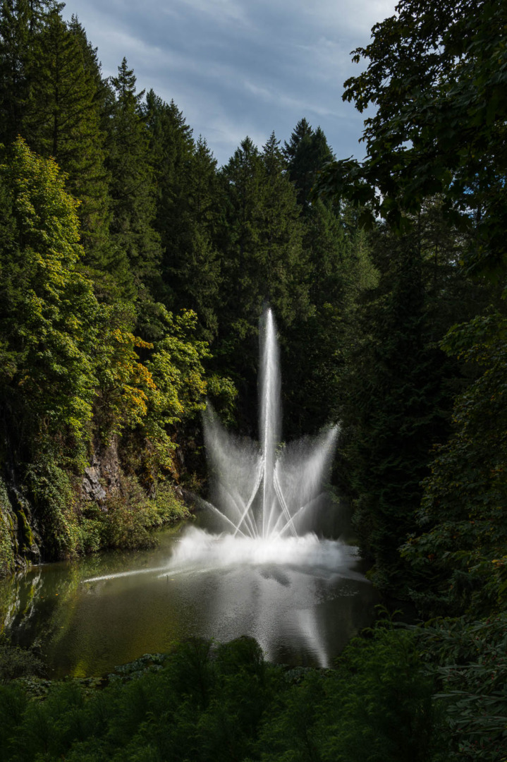
Leica’s changing story
GPS has been part of the Leica world for well over a decade, though not in a straight line. The V-Lux 20 and its successors, the V-Lux 30 and V-Lux 40, and the first generation Leica SL (Typ 601) all carried a built-in GPS chip that logged coordinates automatically as pictures were taken, along with a database of points of interest. The Leica S (Typ 007), the company’s medium-format DSLR, listed GPS as a standard feature too, which made sense for the architectural and location photographers it was aimed at.
None of that carried forward. The previous V-Lux 5 bridge camera (production stopped in 2024) had no GPS receiver, and nothing in today’s M, Q, SL or D-Lux ranges does either. Anyone shooting an M11, a Q3 or an SL3 who wants a location on file has to find it another way.

The Visoflex option
Before the FOTOS app existed, Leica had already sold a hardware answer. The Visoflex (Typ 020) electronic viewfinder, which fits the accessory shoe of the M10 series, the T, the TL and the X, housed its own GPS receiver alongside its main role as an EVF; tagging images as they were shot with no phone required.
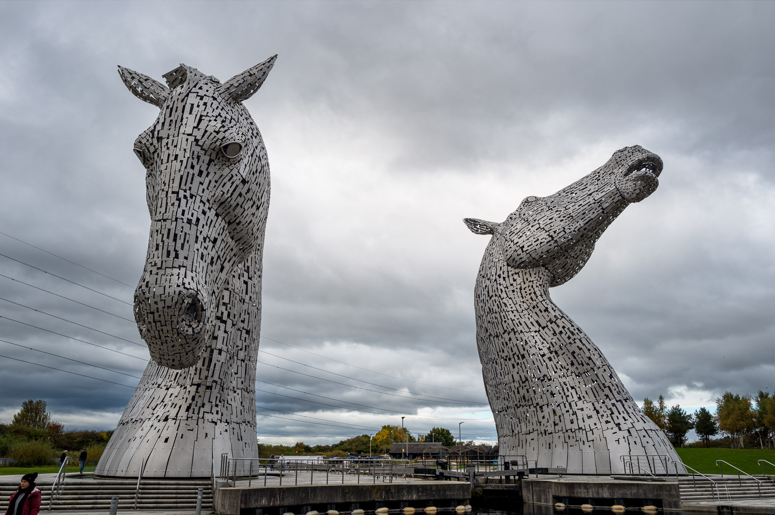
It’s a neat solution for anyone who already wanted an accessory finder on those bodies, and it remains the only current way to get phone-independent geotagging on a Leica, outside the older V-Lux compacts. It doesn’t help an M11 owner shooting through the optical rangefinder, though, since fitting an EVF rather defeats the point of a rangefinder in the first place.
FOTOS takes over
For every current camera without built-in GPS or a Visoflex, the answer is the Leica FOTOS app. Pair the camera with a phone and then connected to the app. The camera takes its position from the phone’s GPS over Bluetooth and writes the coordinates into each image’s EXIF data as it is captured.
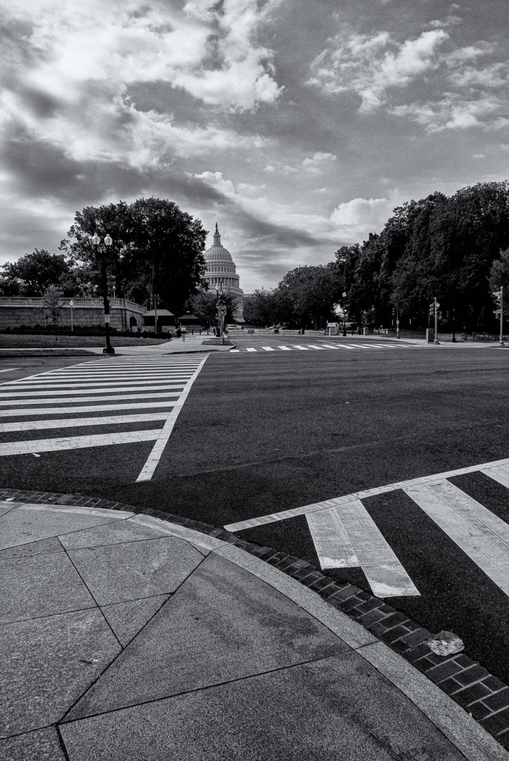
This runs continuously, not just at the moment of import. Once a camera is paired and geotagging is switched on inside FOTOS, the app doesn’t need to sit open in the foreground; it keeps feeding location data to the camera as long as the Bluetooth connection holds. Leica’s own M11 and Q3 manuals confirm as much, showing a small icon that tells you whether the last location fix is current, a few hours old, or stale. Mind you, you may notice a difference in battery consumption between switched on and communicating, and not.
Setting it up
The process is straightforward once you’ve done it the first time, if a little fiddly on the first attempt. Location services need to be switched on for FOTOS on the phone, the app needs pairing with the camera over Bluetooth, and geotagging has to be enabled from within FOTOS itself, not from the camera’s own menu.

Looking ahead
Leica and its rivals will keep refining these apps. AI-assisted location identification, built from image recognition rather than satellites, is already an emerging technique in some photo-management and forensic tools. In time, software may be able to suggest a location purely from visual landmarks in a photo when no GPS data exists at all. Macfilos readers may remember the “Swiss Roll” story, where volunteers spent hours looking at images and remembering, what an AI tool might now do in seconds.
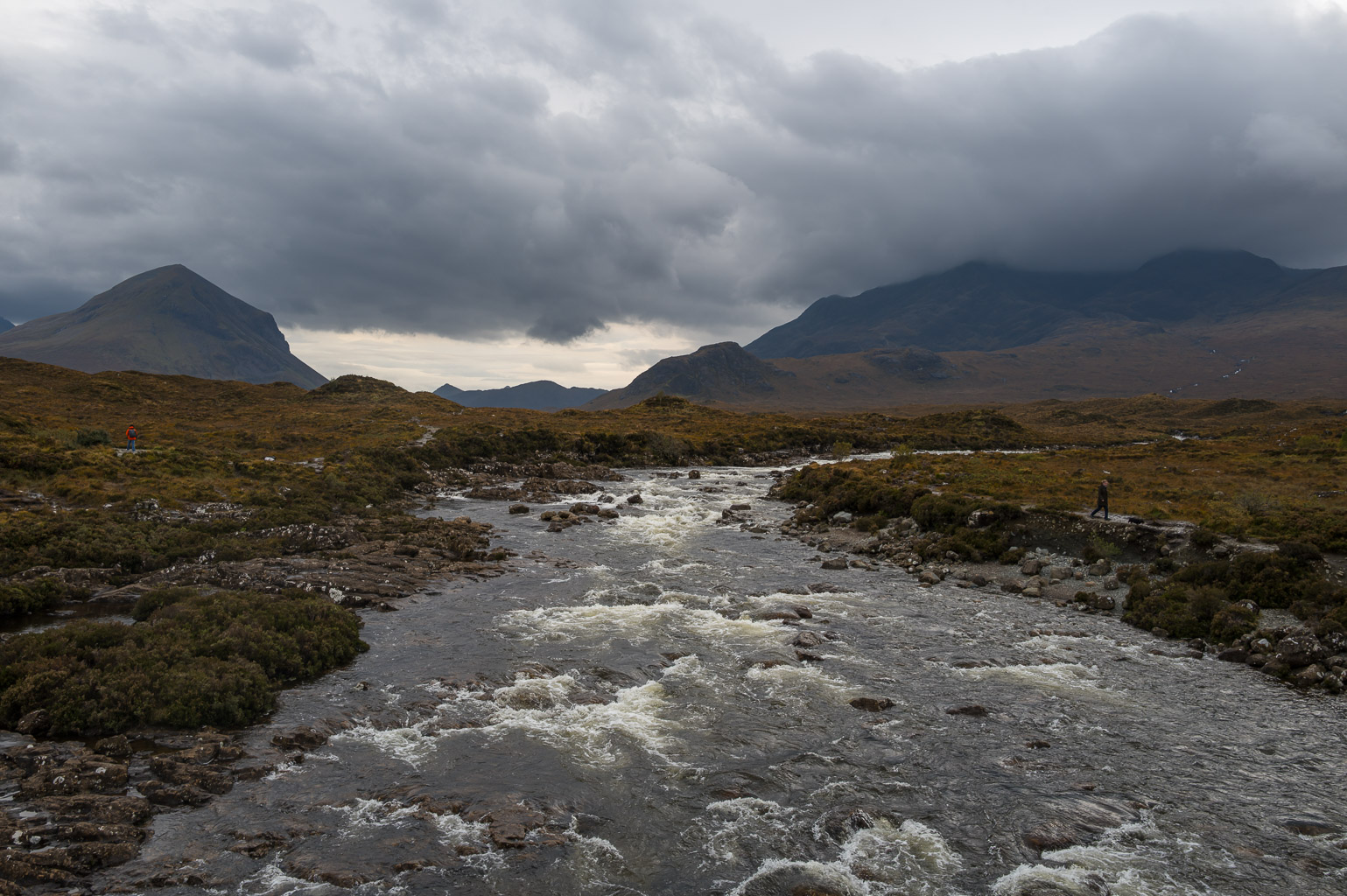

The journey continues, in other words. We may not know where we’re going next, as Evita sang in the musical, but we’ll have a far more accurate record of where we’ve been, and “where did we take this picture, darling?” may finally be a question nobody needs to ask.
Further reading
| Macfilos Articles | Other Links |
|---|---|
| Leica M11-P Review: The camera with Contact Credentials – How FOTOS-based geotagging works on the M11-P | Leica FOTOS – The app now doing the geotagging Leica’s cameras no longer do alone |
| Leica SL3-P long-term review: It’s a winner for Leica – FOTOS geotagging tested over months of real use | Ricoh O-GPS2 – Pentax’s own hot-shoe GPS unit, and the Astrotracer feature it drives |
| Come back Visoflex 2, (almost) all is forgiven … – What was lost when the built-in GPS module disappeared | Fujifilm XApp – Fujifilm’s equivalent to FOTOS and SnapBridge |
| Leica Electronic Viewfinders: Alternatives to the M EV1 – A full history of the Visoflex line, GPS included | Nikon SnapBridge – Nikon’s own Bluetooth bridge between camera and phone |
| Leica C-Lux: From Chora Sfakion to Agios Pavlos – Bluetooth geotagging in practice on a Cretan road trip | RTK GPS: how Real-Time Kinematic positioning works – The centimetre-accurate technology that may reach phones next |
| Capturing sketches of Spain with a Leica Q3 – My own take on letting one camera tell a travel story | GeoSpy AI – An early look at location-from-pixels, no GPS required |
Make a donation to help with our running costs
Did you know that Macfilos is run by five photography enthusiasts based in the UK, USA and Europe? We cover all the substantial costs of running the site, and we do not carry advertising because it spoils readers’ enjoyment. Any amount, however small, will be appreciated, and we will write to acknowledge your generosity.
I like the Fotos geotagging feature for my Leica Q and M cameras, however it has a limitation. The first one or two images, taken shortly after the camera is turned on, may not get geotagged. Also, geotagging is nice but without an application to show you on a map where your images were taken, it is not worth much. That is why I like the Lightroom Map function. Any image in your library that is geotagged, including from Fotos, or your smartphone images (assuming GPS location is turned on), will show up on the Lr map. If you have images not geotagged, in the Map function you can click, drag and drop the images onto the map at the location where each (or the entire group) was taken. You can then use the map to see which images in your library were taken where. Further, Google provides location data (country, city, etc.) on each image thus located. This location data is searchable in the library. The downside of this is that Google knows where each image was taken. Remember, when exporting an image which is geotagged, you can optionally strip location data from the exported image.
I don’t use a smart phone. But fortunately there were several companies making geotaggers for Nikon DSLRs, and they can be purchased reasonably on eBay.
My Nikon AW1 goes a step further, and includes, in addition to GPS, an altimeter and a depth gauge. Not that I will ever use the latter.